
A major severe weather system is developing across the central United States, bringing the potential for tornadoes, large hail, damaging winds, and flash flooding over several days. Meteorologists warn that atmospheric conditions are aligning in a way that could produce repeated rounds of thunderstorms across the Plains and Midwest, raising concerns about widespread disruption to travel, infrastructure, and communities.
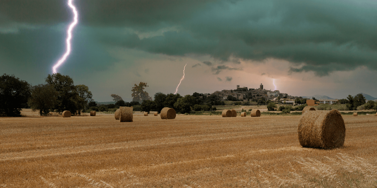
Warm, moisture-rich air moving north from the Gulf of Mexico is colliding with a strong cold front pushing across the region, creating instability in the atmosphere. This setup is a classic trigger for supercell thunderstorms, which are capable of producing long-track tornadoes and significant hail events.
Forecast models indicate that the most active period will likely unfold in waves, rather than a single storm line. This means that some locations could be affected multiple times, increasing the risk of cumulative damage and complicating emergency response efforts.
Areas across parts of Nebraska, Iowa, Kansas, South Dakota, and surrounding states are expected to see the highest threat levels. These regions are positioned near the boundary where warm and cold air masses are expected to repeatedly interact, fueling storm development.
Meteorologists emphasize that one of the key concerns is the potential for nocturnal storms, which can be especially dangerous because they reduce visibility and limit the time people have to react to warnings. Overnight tornadoes historically carry higher risks due to people being asleep and less likely to receive alerts immediately.
In addition to tornado potential, large hail and damaging straight-line winds are expected to accompany many of the storms. Hailstones larger than golf balls could pose a significant threat to vehicles, roofs, and agricultural crops, while high winds may lead to scattered power outages and downed trees.
Flash flooding is also a growing concern as repeated thunderstorms may move over the same areas, dumping heavy rainfall in short periods. Saturated ground conditions could quickly lead to localized flooding in low-lying communities and rural areas.
Transportation networks across the central U.S. may face disruptions, particularly along major interstate corridors and freight routes. Airlines are also monitoring conditions closely, as severe weather in this region often leads to cascading delays across the national air travel system.
Emergency management agencies in several states are encouraging residents to review safety plans, ensure access to reliable weather alerts, and identify safe shelter locations in advance. Preparedness measures are especially important in rural areas where warning systems and shelter access may be more limited.
While severe weather is a common feature of spring in the central United States, meteorologists note that multi-day outbreaks can amplify risks due to their duration and geographic spread. These extended events can strain emergency services and increase the likelihood of property damage across multiple states.
The evolving situation highlights the importance of staying informed through official weather updates and remaining flexible with travel and outdoor plans. Conditions can change rapidly as storm systems develop, intensify, and shift eastward over time.
The atmospheric pattern driving the outbreak is being influenced by a strong upper-level jet stream dipping across the western United States. This enhances wind shear and supports rotating thunderstorms. Combined with warm, humid air near the surface, it creates a broad zone favorable for severe storm development across multiple states rather than isolated storm cells.
Farmers across the central states face potential risks to early-season crops such as corn and soybeans from hail damage and excessive rainfall. Livestock operations may also be affected by rapid temperature shifts and localized flooding. In addition, trucking and rail networks could experience delays as storms disrupt key freight corridors.
Residents are encouraged to maintain multiple methods of receiving weather alerts, including mobile notifications and NOAA weather radios. Emergency kits with essentials such as water, flashlights, and backup power sources can help during outages. Identifying safe shelter areas in advance, particularly interior rooms or below-ground spaces, is strongly advised during tornado warnings.
While spring storms are common, multi-day severe outbreaks pose greater risk due to repeated impacts over the same areas. This pattern increases the likelihood of cumulative damage to infrastructure and communities. Meteorologists note that even small shifts in atmospheric conditions could significantly alter where the most intense storms develop, making ongoing monitoring essential.